

Gain the SeaStar℠ Advantage
The SeaStar Information Service plans deliver ocean intelligence and near-real-time data to help commercial fisheries optimize operations, monitor changing ocean conditions and protect aquaculture assets.
Better Insights, Better Results
Our easy-to-use InsightExplorer software features map layers that combine inputs, including Automatic Identification System (AIS) and high-resolution satellite imagery to create actionable intelligence.
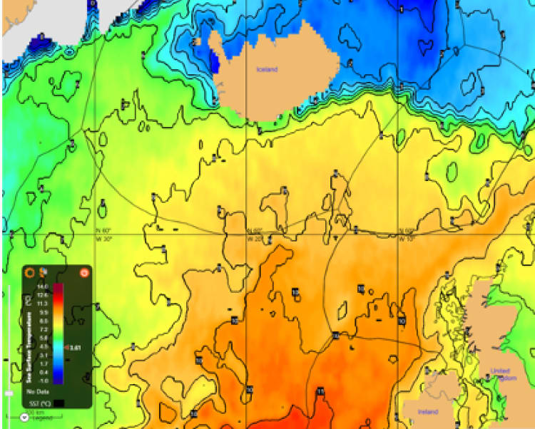
Map Layers
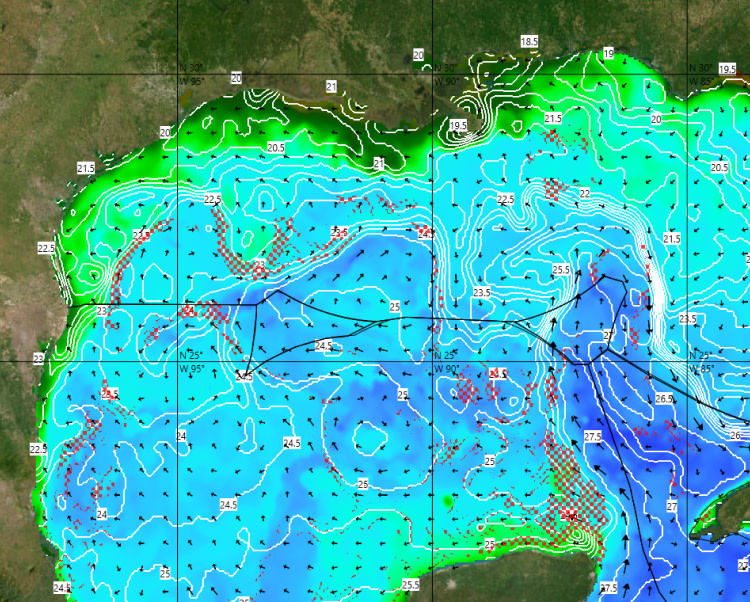
Color-coded map layers show sea surface temperatures, currents and height anomalies, subsurface temperatures, plankton concentrations, thermoclines and ocean salinity.

Weather Report
Data includes a comprehensive weather report, bulletins, forecasts and fishing recommendations.
Mastercast Analytics
This analytics tool allows users to manipulate, filter and sort data.
Find Fish Faster
Combine your captain’s intuition with daily charts of ocean conditions to help locate the closest, most productive fishing grounds.


Monitor Changing Conditions
Track changing weather, ocean and climate conditions for more informed decision-making and to help maintain efficient operations — at sea or for research and planning.
Protect Aquaculture Assets
Monitor the emergence of red tides in near-real time through the applications of detection algorithms to oceanographic data.

Find the Right Plan for Your Business
Request a demo or trial to get started.